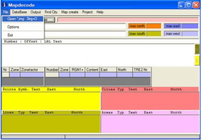
Mapdekode is a program to create vector maps (IMG's) for Garmin GPS units. MapDekode supports only the creation of the IMG format R&R version 3, with the zones 0,1,2,83,84 for the detail maps and zones 2,3,4,85,86 for the general map. The map sections utilized, are TRE (organization of the map), LBL (all texts and labels) and RGN (the map data).

Do you think you know everything? If so, prove it with General Knowledge Quiz.


Comments